
Complete Landscape Site Analysis Checklist for Asheville
Key Takeaways
A comprehensive landscape site analysis checklist guides Asheville homeowners through evaluating their property’s unique conditions before beginning any landscaping project, ensuring designs work with natural features rather than against them.
- Soil composition and drainage patterns directly determine plant selection and hardscaping placement in mountain terrain
- Asheville’s elevation changes and microclimates require careful mapping of sun, shade, and wind patterns
- Existing vegetation assessment reveals opportunities for preservation and identifies areas needing intervention
- Utility locations and property boundaries establish design constraints that prevent costly mistakes
- Site analysis data forms the foundation for successful long-term landscape maintenance and functionality
Understanding Your Property Through Professional Assessment
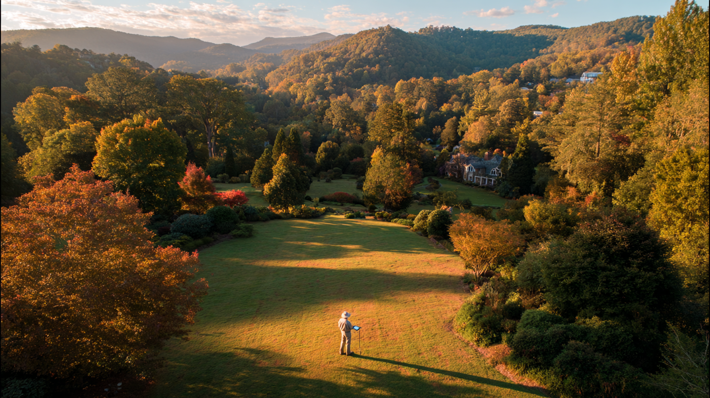
Asheville’s residential properties span dramatically different terrain types, and each one calls for a distinct landscaping approach rooted in local knowledge. Mountain lots require specialized erosion control, native plant selections, and grading strategies that work with steep slopes rather than fighting them. Valley properties face different challenges with drainage patterns and soil composition that directly affect which plants will thrive and where hardscaping elements should be positioned.
Our family has analyzed thousands of Asheville properties over five decades, and we’ve learned that rushing into landscape design without proper site evaluation leads to costly repairs and frustrated homeowners. The mountain environment presents unique variables that generic approaches simply cannot address. Weather patterns shift dramatically with elevation changes, creating microclimates within single properties that require different treatment strategies.
A systematic landscape site analysis checklist becomes your roadmap for making informed decisions about every aspect of your outdoor space. This process reveals hidden opportunities while identifying potential problems before they become expensive headaches. Properties that receive thorough analysis consistently produce more beautiful, functional landscapes that stand the test of time.
Essential Site Conditions Assessment
Start your analysis by mapping sunlight patterns throughout different seasons, noting how Asheville’s mountain ridges affect shadow lines across your property. Morning sun exposure differs significantly from afternoon patterns, especially on sloped terrain where southern exposures receive intense summer heat while northern slopes remain consistently cooler and more humid.
Document existing drainage flow during heavy rain events, particularly after spring snowmelt when water movement patterns become most apparent. Poor drainage solutions often hide beneath surface appearances, only revealing themselves during significant weather events that can damage unprepared landscapes. For more information on soil drainage and site assessment, refer to EPA guidance on environmental site assessment.
Test soil composition at multiple depths and locations across your property, since mountain soils frequently change composition within short distances due to geological variations. Soil pH levels fluctuate based on elevation and surrounding vegetation, affecting which plants will establish successfully and which fertilization programs will produce optimal results. The National Institutes of Health provides research on soil science and environmental health considerations.
Wind Pattern Documentation
Asheville’s mountain location creates complex wind patterns that vary by season and elevation. Winter winds typically come from different directions than summer breezes, and these patterns affect plant selection, structure placement, and comfort zones for outdoor living areas.
Infrastructure and Utility Mapping
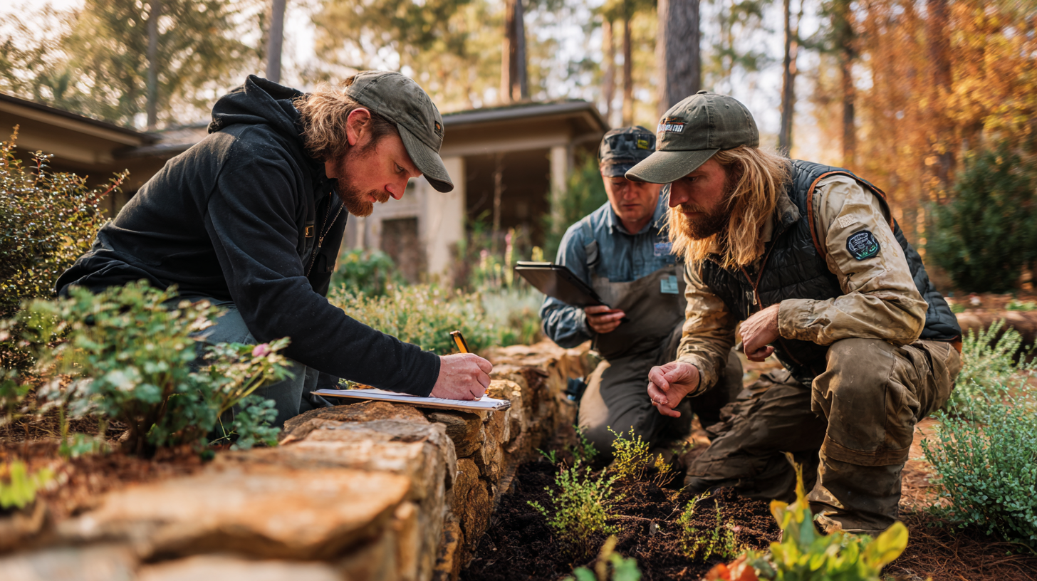
Mark all underground utilities before any excavation begins, including water lines, electrical conduits, septic systems, and cable installations that may not appear on standard utility maps. Mountain properties often have creative utility routing due to terrain challenges, and these lines may run through seemingly obvious planting or hardscaping areas. The Occupational Safety and Health Administration provides standards for safe excavation and utility marking practices.
Document property boundaries precisely, especially on sloped lots where visual estimates often prove inaccurate. Setback requirements and easements frequently restrict where certain landscape features can be installed, and knowing these limitations early prevents design disappointments later in the process.
Evaluate existing access routes for equipment and materials, since Asheville’s mountain terrain can make standard delivery methods impossible for certain locations. Some properties require specialized equipment or creative staging areas that affect project timelines and costs. Material selection for hardscaping often depends on delivery accessibility rather than just aesthetic preferences.
Existing Landscape Evaluation
Catalog mature trees and established plantings that should be preserved, noting their health status and growth patterns over time. Asheville’s native species often provide valuable ecosystem services that imported alternatives cannot match, and mature specimens represent years of growth that new installations cannot quickly replace. Learn more about native plants on Wikipedia for ecological context.
Identify invasive species that require removal before new plantings establish, since aggressive weeds and non-native plants can quickly overwhelm careful landscape investments. Mountain environments often harbor invasive species that thrive in disturbed soils, making early identification and treatment crucial for long-term success.
Assess existing lawn areas for health and viability, considering whether renovation makes more sense than complete replacement. Bare spot repairs and overseeding techniques can often restore struggling grass areas without full replacement when site conditions are properly understood.
Native plant selection becomes much clearer when you understand exactly what conditions each area of your property provides throughout the growing season, while proper mulching techniques help establish new plantings successfully. For climate-specific planting guidance, consult CDC environmental health resources.
Frequently Asked Questions
How long does a complete landscape site analysis take?
Thorough site analysis typically requires multiple visits across different seasons to capture all relevant conditions. Initial assessment takes 2-4 hours, but weather pattern documentation and seasonal observations extend over several months for complete accuracy.
What tools do I need for property assessment?
Basic tools include measuring tape, soil pH test kit, digital camera, notebook, and stakes for marking key features. Professional analysis may require additional equipment like transit levels for slope measurement and soil augers for deep testing.
Can I skip site analysis for small landscape projects?
Even small projects benefit from site analysis since Asheville’s mountain terrain creates complex conditions within short distances. Poor site understanding often leads to plant failures and drainage problems regardless of project size.
How often should I update my site analysis?
Major analysis updates should occur every 5-10 years as mature plants change conditions and weather patterns shift. Minor updates after significant storms or property modifications help maintain accuracy for ongoing landscape decisions.
What mistakes do homeowners commonly make during site analysis?
Common errors include underestimating drainage issues, ignoring seasonal sun pattern changes, and failing to mark underground utilities. Many homeowners also overlook microclimate variations within their property boundaries.
Does Asheville’s mountain climate require special analysis considerations?
Mountain properties need elevation-specific analysis including frost pocket identification, wind pattern mapping, and soil composition variations. Standard lowland analysis methods often miss critical mountain environment factors.
How does site analysis affect landscape maintenance requirements?
Proper analysis reveals conditions that determine long-term maintenance needs, helping you choose plants and features that match your desired maintenance commitment. Sites with challenging conditions require more intensive ongoing care.
Get Professional Analysis Before You Begin
Creating a beautiful landscape is just the beginning—maintaining it properly is what truly brings your outdoor space to life year after year. A comprehensive landscape site analysis checklist ensures your Asheville property receives treatments that work with its unique mountain characteristics rather than fighting against natural conditions.
Our family has guided homeowners through site analysis for over 50 years, and we understand exactly which factors determine success in Asheville’s challenging terrain. Professional assessment saves money by preventing costly mistakes